Every map tells a story. However, it’s not always the whole truth. From classroom globes to digital navigation apps, maps do more than show where things are.
Maps shape how we think about space, distance, and even power. For centuries, the way the world has been drawn has influenced how people see it—literally and politically. Behind every line and label lies a choice about perspective, and those choices, plus map projection distortion, have quietly molded our understanding of geography and identity.
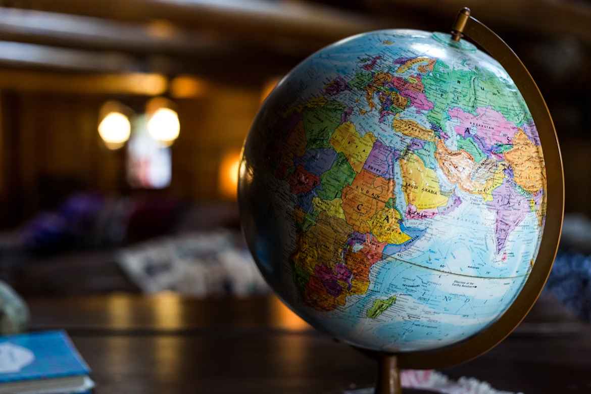
The Power of Projection
The most famous example of map distortion is the Mercator projection, created by the Flemish cartographer Gerardus Mercator in 1569. His design was revolutionary for navigation because it preserved direction, with straight lines on the map representing constant compass bearings, which were perfect for sailors. But there was a catch: Mercator’s map severely distorts size and shape as you move toward the poles.
On this map, Greenland appears the size of Africa, even though Africa is 14 times larger. Europe and North America appear dominant and vast, while equatorial regions such as South America and Africa appear smaller and less significant. For centuries, this skewed view subtly reinforced colonial power structures, making wealthy northern nations seem more critical than those near the equator.
Alternative projections, such as the Gall-Peters and Robinson maps, aim to correct these distortions, prioritizing area accuracy over navigational convenience. Yet even they involve trade-offs. Flattening a globe into two dimensions always sacrifices something. Every projection has a point of view, both mathematically and metaphorically.
Read The Countries That Don’t Use Street Addresses for another way location systems shape daily life.
The Map as a Mirror of Power
Maps have always been tools of influence. Ancient empires used them to claim territories, explorers drew them to assert discovery, and modern nations design them to express control. The act of drawing a border isn’t just technical; it’s political.
For instance, disagreements over maps still shape international relations today. China’s “nine-dash line” in the South China Sea, Israel’s shifting borders, and even debates over Crimea all hinge on how territory is represented. Maps can legitimize authority or challenge it.
In colonial times, European powers used maps to divide continents without consent, redrawing Africa’s borders at the 1884 Berlin Conference. The result was arbitrary lines that ignored ethnic and cultural realities, consequences that still echo in modern conflicts.
Even subtle design choices, like which language names appear or which landmarks are emphasized, can signal cultural bias. Cartographers choose what to highlight, and in doing so, they tell the viewer what matters.
Check out The Town That Vanished Without a Trace for a look at how a place and borders can disappear.
Digital Maps and the Illusion of Objectivity
Today, we rely on digital maps so much that we rarely question them. GPS and satellite imagery seem objective, yet data, algorithms, and human decisions still shape modern mapping. Companies like Google determine which businesses appear first, which routes to prioritize, and how “relevant” specific locations are—all based on hidden calculations.
In many parts of the world, incomplete or outdated data means rural areas are literally missing from digital maps. This digital invisibility affects access to resources, recognition, and development. Once again, maps define who gets seen and who doesn’t.
At the same time, online mapping has democratized geography. Tools like OpenStreetMap let volunteers chart unrecorded roads, refugee camps, and disaster zones, giving communities agency over their own representation. The balance of mapmaking power is shifting, from empires and corporations to individuals with smartphones and internet access.
Maps don’t just reflect the world; they construct it. Every projection, border, and pin-drop is a lens through which we interpret reality. Understanding that bias doesn’t make maps less valuable. It makes them more meaningful.
See How a Volcano Once Changed the Entire World’s Climate to explore how global events reshape what maps capture.